West end of Oldgate Bridge, Morpeth
Introduction
The photograph on this page of West end of Oldgate Bridge, Morpeth by Robert Graham as part of the Geograph project.
The Geograph project started in 2005 with the aim of publishing, organising and preserving representative images for every square kilometre of Great Britain, Ireland and the Isle of Man.

There are currently over 7.5m images from over 14,400 individuals and you can help contribute to the project by visiting https://www.geograph.org.uk
West end of Oldgate Bridge, Morpeth
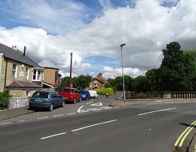
Image: © Robert Graham Taken: 10 Jul 2023
The road comes over the bridge onto Curly Kews road. The road running along the river in the centre is High Stanners.
Images are licensed for reuse under creativecommons.org/licenses/by-sa/2.0
Image Location
Latitude
55.167481
Longitude
-1.69465