Curly Kews road, Morpeth
Introduction
The photograph on this page of Curly Kews road, Morpeth by Robert Graham as part of the Geograph project.
The Geograph project started in 2005 with the aim of publishing, organising and preserving representative images for every square kilometre of Great Britain, Ireland and the Isle of Man.

There are currently over 7.5m images from over 14,400 individuals and you can help contribute to the project by visiting https://www.geograph.org.uk
Curly Kews road, Morpeth
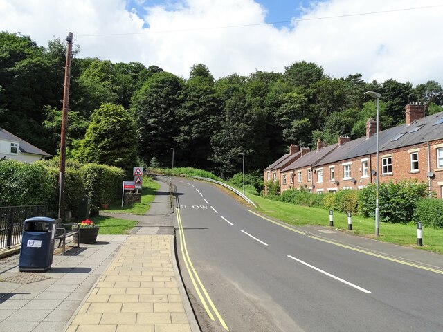
Image: © Robert Graham Taken: 10 Jul 2023
This strangely named road runs west from Oldgate Bridge on the west side of the town centre. The road itself seems to be postwar from map evidence, which must be when this area of the town was developed. The terrace on the right however dates from earlier, the beginning of the 20th century.
Images are licensed for reuse under creativecommons.org/licenses/by-sa/2.0
Image Location
Latitude
55.167123
Longitude
-1.695281