Ashdon Place
Introduction
The photograph on this page of Ashdon Place by John Sutton as part of the Geograph project.
The Geograph project started in 2005 with the aim of publishing, organising and preserving representative images for every square kilometre of Great Britain, Ireland and the Isle of Man.

There are currently over 7.5m images from over 14,400 individuals and you can help contribute to the project by visiting https://www.geograph.org.uk
Ashdon Place
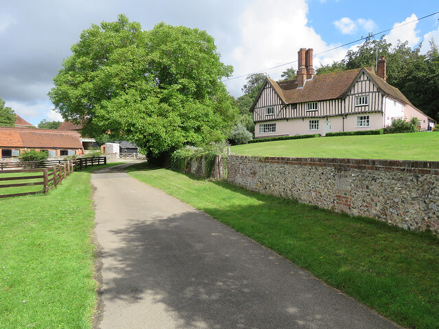
Image: © John Sutton Taken: 27 Aug 2023
"C16 timber-framed house built on a half H plan, with C17 and C19 additions" (Grade II listing).
Images are licensed for reuse under creativecommons.org/licenses/by-sa/2.0
Image Location


Leaflet Map data © OpenStreetMap
Latitude
52.062011
Longitude
0.323063