Fingers Crossed
Introduction
The photograph on this page of Fingers Crossed by Andy Beecroft as part of the Geograph project.
The Geograph project started in 2005 with the aim of publishing, organising and preserving representative images for every square kilometre of Great Britain, Ireland and the Isle of Man.
There are currently over 7.5m images from over 14,400 individuals and you can help contribute to the project by visiting https://www.geograph.org.uk

Image: © Andy Beecroft Taken: 27 Aug 2023
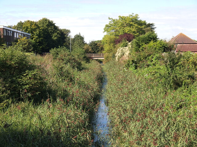
This is Burstwick Drain which is the sole drainage waterway for the whole of south west Holderness that is mainly farmland. The drain is normally about five times this width with no reeds either side of it but no doubt the fertiliser-rich land water aids rapid growth of the vegetation . Unfortunately, the drain's flow rate is severely restricted in this current condition. Usually, by this time of the year, the reeds have been cut right back to aid normal drainage. Back in the summer of 2007, there was a torrential downpour in the Hedon area which caused notable flooding to properties in the district. We just hope that there isn't a similar storm now...... Footnote: 2 months later..... Luckily, some remedial work was done just a couple of weeks ago as this is what it looked like on 21st. October less than 2 months afterwards: Image Had the vegetation removal not been done, the situation could have been much worse...

