Airyhemming Farm
Introduction
The photograph on this page of Airyhemming Farm by Chris Newman as part of the Geograph project.
The Geograph project started in 2005 with the aim of publishing, organising and preserving representative images for every square kilometre of Great Britain, Ireland and the Isle of Man.

There are currently over 7.5m images from over 14,400 individuals and you can help contribute to the project by visiting https://www.geograph.org.uk
Airyhemming Farm
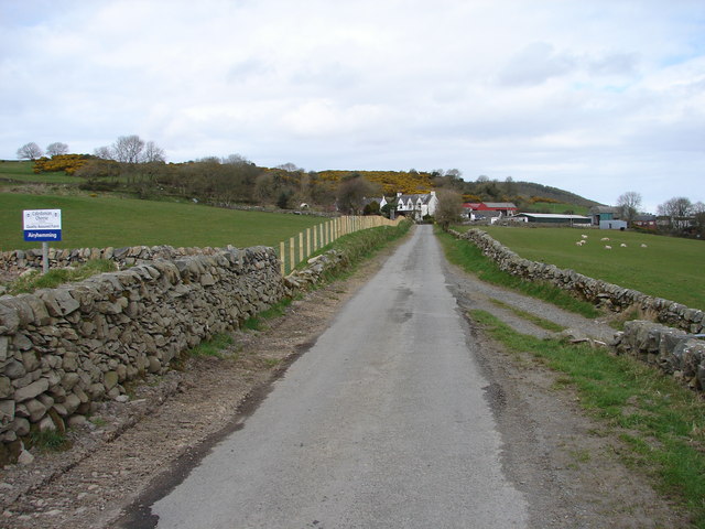
Image: © Chris Newman Taken: 9 Apr 2008
Airyhemming farm is situated northwest of Glenluce Abbey in an area notable for archaeological sites.
Images are licensed for reuse under creativecommons.org/licenses/by-sa/2.0
Image Location
Latitude
54.897625
Longitude
-4.843197