Kymin - Offas Dyke Path
Introduction
The photograph on this page of Kymin - Offas Dyke Path by Colin Smith as part of the Geograph project.
The Geograph project started in 2005 with the aim of publishing, organising and preserving representative images for every square kilometre of Great Britain, Ireland and the Isle of Man.

There are currently over 7.5m images from over 14,400 individuals and you can help contribute to the project by visiting https://www.geograph.org.uk
Kymin - Offas Dyke Path
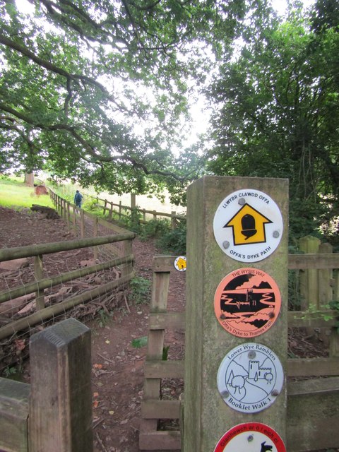
Image: © Colin Smith Taken: 4 Aug 2023
This rural path leads from Monmouth town up to the scattered houses on Kymin hill. The footpath is also followed here by part of the Offa's Dyke Path (177 miles / 285 kilometres long) which loosely follows the English-Welsh border. https://www.nationaltrail.co.uk/en_GB/trails/offas-dyke-path/
Images are licensed for reuse under creativecommons.org/licenses/by-sa/2.0
Image Location
Latitude
51.810557
Longitude
-2.688217