Nairn station from the east
Introduction
The photograph on this page of Nairn station from the east by Nigel Brown as part of the Geograph project.
The Geograph project started in 2005 with the aim of publishing, organising and preserving representative images for every square kilometre of Great Britain, Ireland and the Isle of Man.

There are currently over 7.5m images from over 14,400 individuals and you can help contribute to the project by visiting https://www.geograph.org.uk
Nairn station from the east
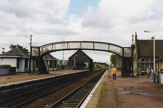
Image: © Nigel Brown Taken: 28 Jun 1999
The 1:50000 map has the station right on the boundary; the 1:25000 shoves it more in this square. I'm going with the 1:25000.
Images are licensed for reuse under creativecommons.org/licenses/by-sa/2.0
Image Location
Latitude
57.58015
Longitude
-3.87233