
Verdant Nechells
Introduction
The photograph on this page of Verdant Nechells by A J Paxton as part of the Geograph project.
The Geograph project started in 2005 with the aim of publishing, organising and preserving representative images for every square kilometre of Great Britain, Ireland and the Isle of Man.

There are currently over 7.5m images from over 14,400 individuals and you can help contribute to the project by visiting https://www.geograph.org.uk
Verdant Nechells
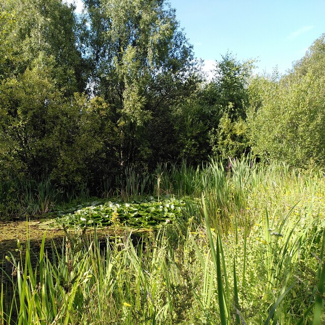
Image: © A J Paxton Taken: 16 Aug 2023
This pond - two ponds are shown on the OS 1:25000 map - forms the centre of a miniature nature reserve between the Grand Union Canal and the River Rea. The river runs alongside the canal here, several metres lower and with steep, straightened banks, looking more like an artificial drainage ditch than a river. They part briefly as one walks northwards; the river flows behind this green oasis, then a short way downstream it turns east and passes under the canal.
Images are licensed for reuse under creativecommons.org/licenses/by-sa/2.0
Image Location

Latitude
52.500727
Longitude
-1.859584