Caer Llan
Introduction
The photograph on this page of Caer Llan by Colin Smith as part of the Geograph project.
The Geograph project started in 2005 with the aim of publishing, organising and preserving representative images for every square kilometre of Great Britain, Ireland and the Isle of Man.

There are currently over 7.5m images from over 14,400 individuals and you can help contribute to the project by visiting https://www.geograph.org.uk
Caer Llan
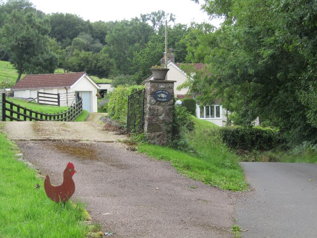
Image: © Colin Smith Taken: 3 Aug 2023
A rural area with scattered houses and winding country lanes. Beware of free range hens.
Images are licensed for reuse under creativecommons.org/licenses/by-sa/2.0
Image Location
Latitude
51.77238
Longitude
-2.741549