Sutton: towards St Andrew's tower
Introduction
The photograph on this page of Sutton: towards St Andrew's tower by John Sutton as part of the Geograph project.
The Geograph project started in 2005 with the aim of publishing, organising and preserving representative images for every square kilometre of Great Britain, Ireland and the Isle of Man.

There are currently over 7.5m images from over 14,400 individuals and you can help contribute to the project by visiting https://www.geograph.org.uk
Sutton: towards St Andrew's tower
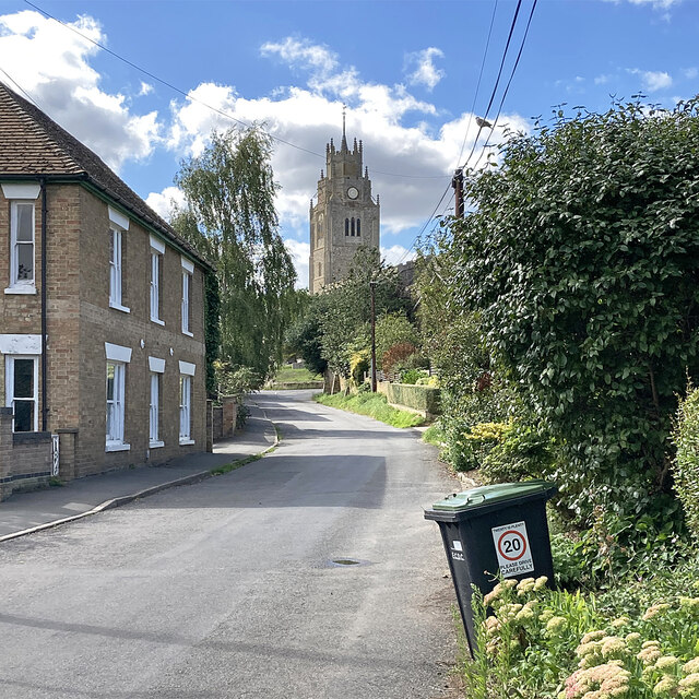
Image: © John Sutton Taken: 19 Aug 2023
Looking up Station Road towards the parish church - a landmark for miles around as Sutton stands on a ridge sixty feet or so above the surrounding fen levels.
Images are licensed for reuse under creativecommons.org/licenses/by-sa/2.0
Image Location
Latitude
52.389298
Longitude
0.128874