Bow Bridge Cottage, A30 Shaftesbury Road
Introduction
The photograph on this page of Bow Bridge Cottage, A30 Shaftesbury Road by Mr Red as part of the Geograph project.
The Geograph project started in 2005 with the aim of publishing, organising and preserving representative images for every square kilometre of Great Britain, Ireland and the Isle of Man.

There are currently over 7.5m images from over 14,400 individuals and you can help contribute to the project by visiting https://www.geograph.org.uk
Bow Bridge Cottage, A30 Shaftesbury Road
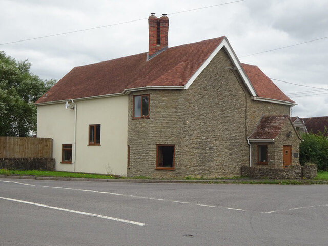
Image: © Mr Red Taken: 4 Aug 2023
Possibly a former Toll House, or modern restoration attempt on the foundations. This location was the Bow TP as labelled in the OS drawing of 1808 ( https://britishlibrary.oldmapsonline.org/compare#666931988205 ) when there was a bridge across Bow Brook. It would have served the Crewkerne Turnpike Trust in the 19ᵗʰ C. Milestone Society National ID: SO.HEN
Images are licensed for reuse under creativecommons.org/licenses/by-sa/2.0
Image Location
Latitude
50.990329
Longitude
-2.365335