Footpath, Upper Woodford
Introduction
The photograph on this page of Footpath, Upper Woodford by Maigheach-gheal as part of the Geograph project.
The Geograph project started in 2005 with the aim of publishing, organising and preserving representative images for every square kilometre of Great Britain, Ireland and the Isle of Man.

There are currently over 7.5m images from over 14,400 individuals and you can help contribute to the project by visiting https://www.geograph.org.uk
Footpath, Upper Woodford
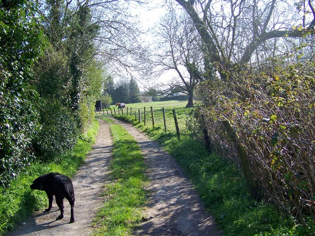
Image: © Maigheach-gheal Taken: 9 Apr 2008
The footpath takes walkers from Upper Woodford to Durnford, on its way it passes many pony paddocks.
Images are licensed for reuse under creativecommons.org/licenses/by-sa/2.0
Image Location


Leaflet Map data © OpenStreetMap
Latitude
51.135107
Longitude
-1.821582