Henfield Road, Small Dole
Introduction
The photograph on this page of Henfield Road, Small Dole by Simon Carey as part of the Geograph project.
The Geograph project started in 2005 with the aim of publishing, organising and preserving representative images for every square kilometre of Great Britain, Ireland and the Isle of Man.

There are currently over 7.5m images from over 14,400 individuals and you can help contribute to the project by visiting https://www.geograph.org.uk
Henfield Road, Small Dole
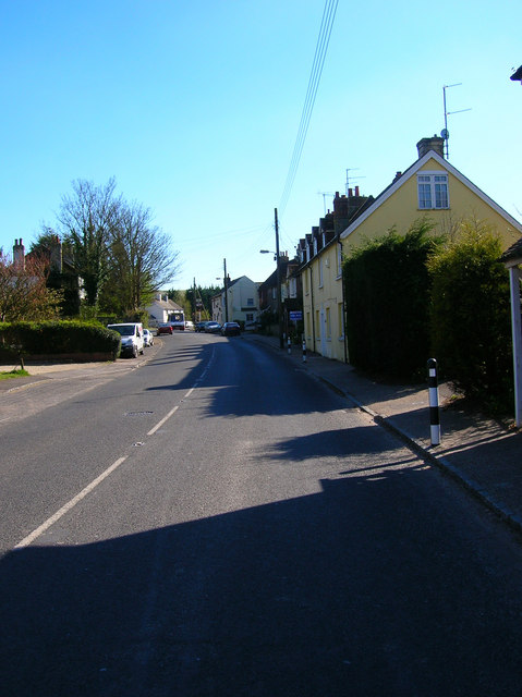
Image: © Simon Carey Taken: 8 Apr 2008
The A2037 forming part of the village street. Taken from outside the post office with the village pub, The Fox, at the end of the terrace. The village has grown since the war having been little more than a few cottages scattered along the road from Henfield to Upper Beeding.
Images are licensed for reuse under creativecommons.org/licenses/by-sa/2.0
Image Location
Latitude
50.902098
Longitude
-0.274621