Dam wall & 'Giant's Tap', Quoits Water Pill
Introduction
The photograph on this page of Dam wall & 'Giant's Tap', Quoits Water Pill by M J Roscoe as part of the Geograph project.
The Geograph project started in 2005 with the aim of publishing, organising and preserving representative images for every square kilometre of Great Britain, Ireland and the Isle of Man.

There are currently over 7.5m images from over 14,400 individuals and you can help contribute to the project by visiting https://www.geograph.org.uk
Dam wall & 'Giant's Tap', Quoits Water Pill
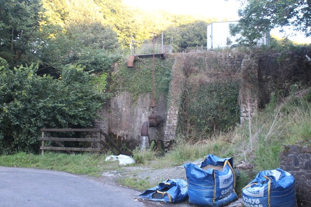
Image: © M J Roscoe Taken: 15 Aug 2023
Water comes via a pipe (the 'pap') through the dam's stone wall into a small pond Image and then under the road into the tidal pill.
Images are licensed for reuse under creativecommons.org/licenses/by-sa/2.0
Image Location
Latitude
51.67156
Longitude
-4.93631