Swamp on the River Len
Introduction
The photograph on this page of Swamp on the River Len by Penny Mayes as part of the Geograph project.
The Geograph project started in 2005 with the aim of publishing, organising and preserving representative images for every square kilometre of Great Britain, Ireland and the Isle of Man.

There are currently over 7.5m images from over 14,400 individuals and you can help contribute to the project by visiting https://www.geograph.org.uk
Swamp on the River Len
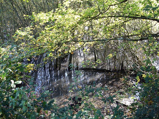
Image: © Penny Mayes Taken: 7 Nov 2005
This looks like an overgrown millpond beside the Broomfield Road. There were 23 mills in the Len valley recorded in the Domesday Book so there may have been one here at one time, but not in the last 150 years or so. The river flows from here into the Great Water at Leeds Castle, about 300 metres west. Quite how all these saplings managed to germinate and grow in such a wet environment can only be guessed at.
Images are licensed for reuse under creativecommons.org/licenses/by-sa/2.0
Image Location


Leaflet Map data © OpenStreetMap
Latitude
51.242897
Longitude
0.634745