Strood junction
Introduction
The photograph on this page of Strood junction by Peter Whatley as part of the Geograph project.
The Geograph project started in 2005 with the aim of publishing, organising and preserving representative images for every square kilometre of Great Britain, Ireland and the Isle of Man.

There are currently over 7.5m images from over 14,400 individuals and you can help contribute to the project by visiting https://www.geograph.org.uk
Strood junction
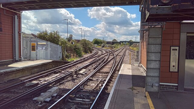
Image: © Peter Whatley Taken: 15 Aug 2023
At the southern end of Strood station, the line heads straight along what is nowadays a rural branch line to Maidstone and Paddock Wood. The curve carries trains onto the Kent Coast main line.
Images are licensed for reuse under creativecommons.org/licenses/by-sa/2.0
Image Location
Latitude
51.395188
Longitude
0.498144