The Wraysbury River at Moor Lane
Introduction
The photograph on this page of The Wraysbury River at Moor Lane by Des Blenkinsopp as part of the Geograph project.
The Geograph project started in 2005 with the aim of publishing, organising and preserving representative images for every square kilometre of Great Britain, Ireland and the Isle of Man.

There are currently over 7.5m images from over 14,400 individuals and you can help contribute to the project by visiting https://www.geograph.org.uk
The Wraysbury River at Moor Lane
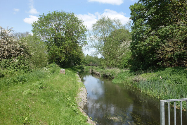
Image: © Des Blenkinsopp Taken: 16 May 2023
The Wraysbury River is part of the very complicated set of waterways which make up the River Colne. Not a true distributary like the Colne Brook, it takes a substantial part of the flow on an alternative course to the main river and only rejoins it just before joining the Thames. For most of its course the Colne consists of a maze of millstreams, diversions, and alternative rivers, plus a flow in and out of the Grand Union Canal. Add reservoirs and gravel pits to the picture and it's not always easy to know which bit of the river you are dealing with.
Images are licensed for reuse under creativecommons.org/licenses/by-sa/2.0
Image Location
Latitude
51.443524
Longitude
-0.522372