Former Free Kirk at Swinton
Introduction
The photograph on this page of Former Free Kirk at Swinton by James Denham as part of the Geograph project.
The Geograph project started in 2005 with the aim of publishing, organising and preserving representative images for every square kilometre of Great Britain, Ireland and the Isle of Man.

There are currently over 7.5m images from over 14,400 individuals and you can help contribute to the project by visiting https://www.geograph.org.uk
Former Free Kirk at Swinton
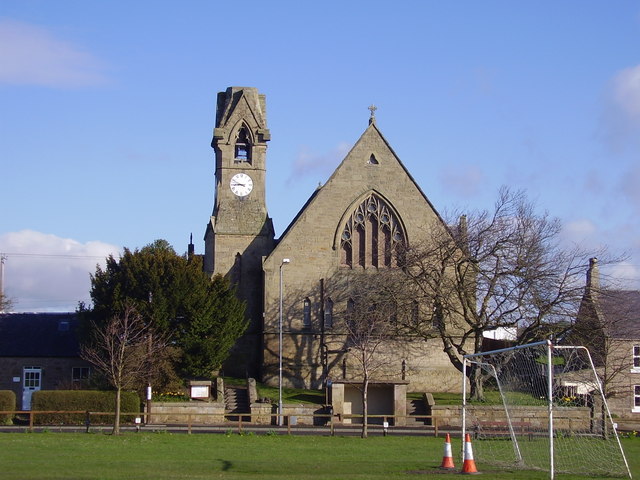
Image: © James Denham Taken: 9 Apr 2008
The old kirk closed and, until recently, acted as the village hall. Unfortunately the building is in a poor state of repair and is currently closed. (Information provided by Mr. Bill Purvis)
Images are licensed for reuse under creativecommons.org/licenses/by-sa/2.0
Image Location
Latitude
55.721095
Longitude
-2.259454