Marsh Lane Bridge near Fordhouses in Wolverhampton
Introduction
The photograph on this page of Marsh Lane Bridge near Fordhouses in Wolverhampton by Roger Kidd as part of the Geograph project.
The Geograph project started in 2005 with the aim of publishing, organising and preserving representative images for every square kilometre of Great Britain, Ireland and the Isle of Man.

There are currently over 7.5m images from over 14,400 individuals and you can help contribute to the project by visiting https://www.geograph.org.uk
Marsh Lane Bridge near Fordhouses in Wolverhampton
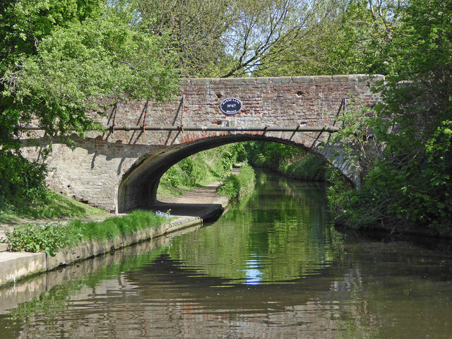
Image: © Roger Kidd Taken: 14 May 2016
This is the Staffordshire and Worcestershire Canal at Marsh Lane Bridge (No 67), looking north-north-east towards the infamous Marsh Lane Narrows, where the canal is cut through the red sandstone bedrock.
Images are licensed for reuse under creativecommons.org/licenses/by-sa/2.0
Image Location
Latitude
52.626657
Longitude
-2.139417