Studd Hill Community Hall
Introduction
The photograph on this page of Studd Hill Community Hall by Jim Barton as part of the Geograph project.
The Geograph project started in 2005 with the aim of publishing, organising and preserving representative images for every square kilometre of Great Britain, Ireland and the Isle of Man.

There are currently over 7.5m images from over 14,400 individuals and you can help contribute to the project by visiting https://www.geograph.org.uk
Studd Hill Community Hall
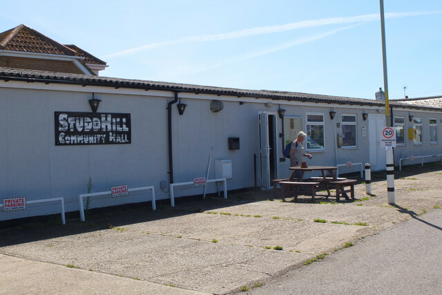
Image: © Jim Barton Taken: 9 Aug 2023
In the residential area west of Herne Bay, notable for the variety of house styles and the street names with motoring connections.
Images are licensed for reuse under creativecommons.org/licenses/by-sa/2.0
Image Location
Latitude
51.366899
Longitude
1.09518