Old Boundary Marker on Cuckoo Lane, Winterbourne Down
Introduction
The photograph on this page of Old Boundary Marker on Cuckoo Lane, Winterbourne Down by Roadside Relics as part of the Geograph project.
The Geograph project started in 2005 with the aim of publishing, organising and preserving representative images for every square kilometre of Great Britain, Ireland and the Isle of Man.

There are currently over 7.5m images from over 14,400 individuals and you can help contribute to the project by visiting https://www.geograph.org.uk
Old Boundary Marker on Cuckoo Lane, Winterbourne Down
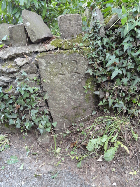
Image: © Roadside Relics Taken: 6 Jul 2023
Boundary Marker in a low wall by the entrance to Mill Lodge on the east side of Cuckoo Lane, Winterbourne Down. On the former boundary of Mangotsfield and Stoke Gifford parishes but now entirely in Winterbourne parish. Milestone Society National ID: GL_WINT05bm
Images are licensed for reuse under creativecommons.org/licenses/by-sa/2.0
Image Location
Latitude
51.50989
Longitude
-2.492909