Old Boundary Marker at Bury Hill Farm, Winterbourne Down
Introduction
The photograph on this page of Old Boundary Marker at Bury Hill Farm, Winterbourne Down by Roadside Relics as part of the Geograph project.
The Geograph project started in 2005 with the aim of publishing, organising and preserving representative images for every square kilometre of Great Britain, Ireland and the Isle of Man.

There are currently over 7.5m images from over 14,400 individuals and you can help contribute to the project by visiting https://www.geograph.org.uk
Old Boundary Marker at Bury Hill Farm, Winterbourne Down
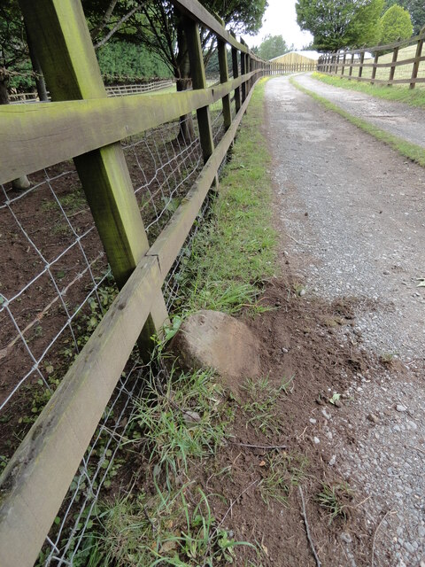
Image: © Roadside Relics Taken: 6 Jul 2023
Boundary Marker beside the drive and public footpath leading to Bury Hill Farm. Winterbourne parish. No visible inscription. Thought to have been moved here. Milestone Society National ID: GL_WINT04bm
Images are licensed for reuse under creativecommons.org/licenses/by-sa/2.0
Image Location
Latitude
51.507595
Longitude
-2.493489