House by Cockington Lane
Introduction
The photograph on this page of House by Cockington Lane by Derek Harper as part of the Geograph project.
The Geograph project started in 2005 with the aim of publishing, organising and preserving representative images for every square kilometre of Great Britain, Ireland and the Isle of Man.

There are currently over 7.5m images from over 14,400 individuals and you can help contribute to the project by visiting https://www.geograph.org.uk
House by Cockington Lane
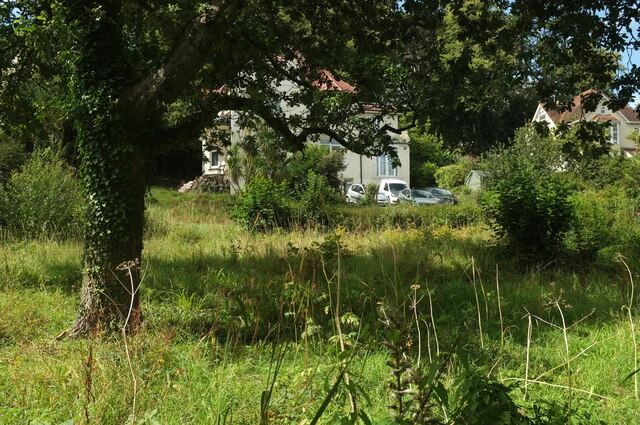
Image: © Derek Harper Taken: 11 Aug 2023
In fact, the houses with back gardens running down to Cockington Lane face onto Underhill Road. The lane carries the Torbay-Totnes Trail.
Images are licensed for reuse under creativecommons.org/licenses/by-sa/2.0
Image Location
Latitude
50.456994
Longitude
-3.546733