Chapel Gwynfryn
Introduction
The photograph on this page of Chapel Gwynfryn by DS Pugh as part of the Geograph project.
The Geograph project started in 2005 with the aim of publishing, organising and preserving representative images for every square kilometre of Great Britain, Ireland and the Isle of Man.

There are currently over 7.5m images from over 14,400 individuals and you can help contribute to the project by visiting https://www.geograph.org.uk
Chapel Gwynfryn
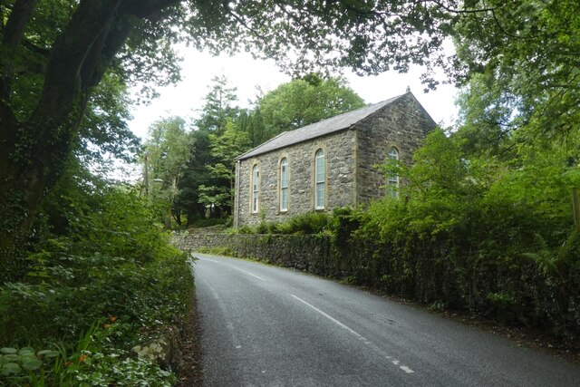
Image: © DS Pugh Taken: 2 Aug 2023
The road leads from Cwm Bychan following the course of the Afon Artro to Llanbedr.
Images are licensed for reuse under creativecommons.org/licenses/by-sa/2.0
Image Location
Latitude
52.824204
Longitude
-4.083198