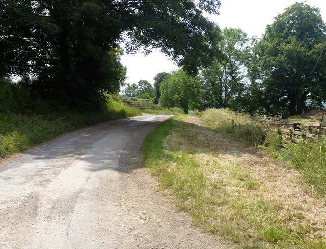
A circular walk around Winchcombe [52]
Introduction
The photograph on this page of A circular walk around Winchcombe [52] by Michael Dibb as part of the Geograph project.
The Geograph project started in 2005 with the aim of publishing, organising and preserving representative images for every square kilometre of Great Britain, Ireland and the Isle of Man.
There are currently over 7.5m images from over 14,400 individuals and you can help contribute to the project by visiting https://www.geograph.org.uk

Image: © Michael Dibb Taken: 7 Jun 2023
The track leading to Sudeley Park Cottages and Sudeley Lodge is a 'route with other public access'. From Castle Street, the walk runs north alongside the River Isbourne to Broadway Road. Joining the Cotswold Way, the route turns northeast to ascend Puck Pit Lane before heading southeast for a steep climb up Salters Hill. Then south along the historic Salt Way, turning southwest then south again to cross the minor road and join the Wardens Way, which is followed past Studley Castle back to the starting point. About 4½ miles.

