Preserved rolling tock, Brechin Station
Introduction
The photograph on this page of Preserved rolling tock, Brechin Station by Bill Harrison as part of the Geograph project.
The Geograph project started in 2005 with the aim of publishing, organising and preserving representative images for every square kilometre of Great Britain, Ireland and the Isle of Man.

There are currently over 7.5m images from over 14,400 individuals and you can help contribute to the project by visiting https://www.geograph.org.uk
Preserved rolling tock, Brechin Station
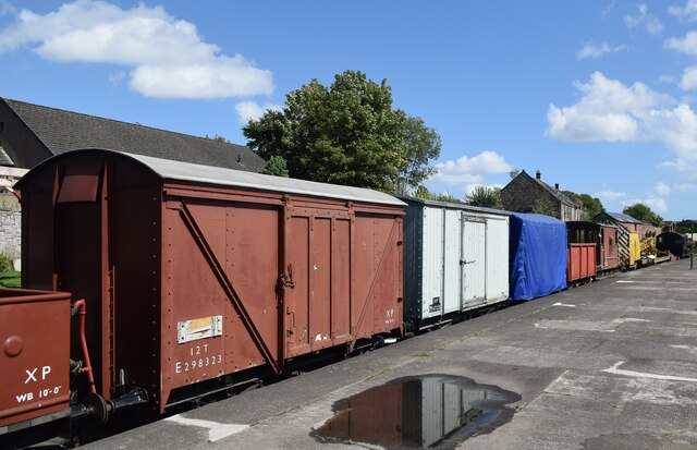
Image: © Bill Harrison Taken: 11 Aug 2023
Brechin never quite fitted into the railway building plans of the 19th Century and local trains from Forfar to Montrose had to reverse at Brechin Station, which closed to passengers as early as 1952: https://en.wikipedia.org/wiki/Forfar_and_Brechin_Railway . Now the base of the preserved Caledonian Railway (Brechin): https://en.wikipedia.org/wiki/Caledonian_Railway_(Brechin) .
Images are licensed for reuse under creativecommons.org/licenses/by-sa/2.0
Image Location
Latitude
56.73166
Longitude
-2.65193