Junction near Manor Farm
Introduction
The photograph on this page of Junction near Manor Farm by Evelyn Simak as part of the Geograph project.
The Geograph project started in 2005 with the aim of publishing, organising and preserving representative images for every square kilometre of Great Britain, Ireland and the Isle of Man.

There are currently over 7.5m images from over 14,400 individuals and you can help contribute to the project by visiting https://www.geograph.org.uk
Junction near Manor Farm
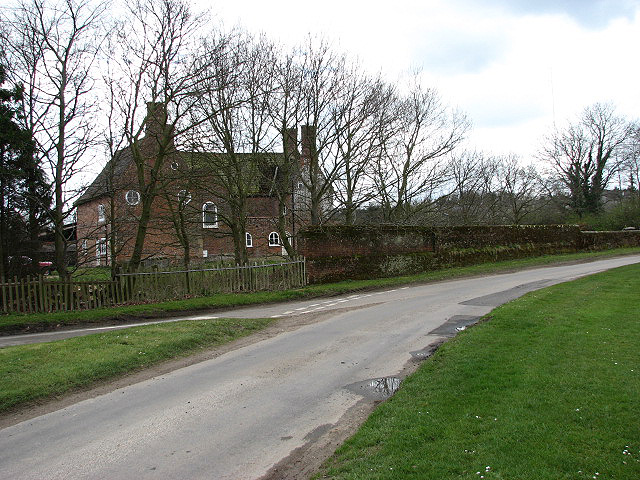
Image: © Evelyn Simak Taken: 8 Apr 2008
Heading past > Image in southerly direction. The road turning off at left connects with the B1149 (Holt Road) further to the east. See also > Image for a view of this junction viewed from the opposite direction.
Images are licensed for reuse under creativecommons.org/licenses/by-sa/2.0
Image Location
Latitude
52.783568
Longitude
1.137422