St Georges Close
Introduction
The photograph on this page of St Georges Close by Bill Nicholls as part of the Geograph project.
The Geograph project started in 2005 with the aim of publishing, organising and preserving representative images for every square kilometre of Great Britain, Ireland and the Isle of Man.

There are currently over 7.5m images from over 14,400 individuals and you can help contribute to the project by visiting https://www.geograph.org.uk
St Georges Close
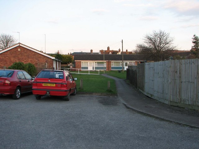
Image: © Bill Nicholls Taken: 8 Apr 2008
Until recently I never realised the place was here, just thought it was a car park.
Images are licensed for reuse under creativecommons.org/licenses/by-sa/2.0
Image Location
Latitude
51.572159
Longitude
-1.153975