Oilshale.
Introduction
The photograph on this page of Oilshale. by Richard Webb as part of the Geograph project.
The Geograph project started in 2005 with the aim of publishing, organising and preserving representative images for every square kilometre of Great Britain, Ireland and the Isle of Man.

There are currently over 7.5m images from over 14,400 individuals and you can help contribute to the project by visiting https://www.geograph.org.uk
Oilshale.
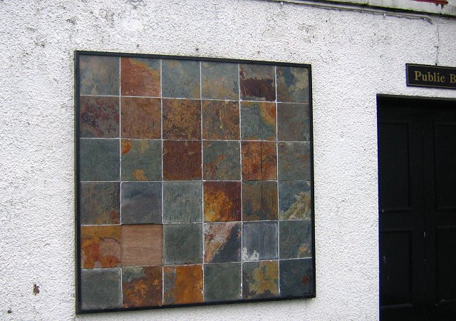
Image: © Richard Webb Taken: 8 Nov 2005
Wall plaque on a pub made of the shale that was West Lothian's fortune. The rock here is rich in oil, and before the big North American oilwells started full production, this was a major source of oil. Then it was wanted mainly for lamps and cooking fuel. Having to be mined prior to extraction, it was soon uneconomic and the industry declined. The legacy can be seen in many places, huge bings of cooked shale, dumped after the oil was boiled off.
Images are licensed for reuse under creativecommons.org/licenses/by-sa/2.0
Image Location
Latitude
55.908587
Longitude
-3.497236