Pumpherston.
Introduction
The photograph on this page of Pumpherston. by Richard Webb as part of the Geograph project.
The Geograph project started in 2005 with the aim of publishing, organising and preserving representative images for every square kilometre of Great Britain, Ireland and the Isle of Man.

There are currently over 7.5m images from over 14,400 individuals and you can help contribute to the project by visiting https://www.geograph.org.uk
Pumpherston.
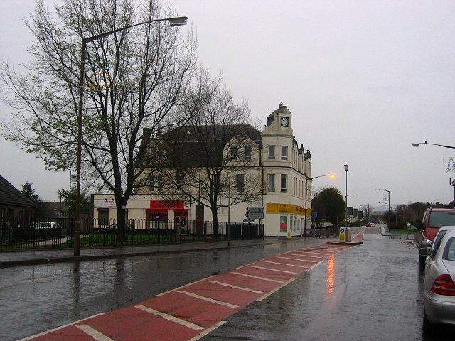
Image: © Richard Webb Taken: 8 Nov 2005
Oil mining village, predating Livingston New Town. Now on the eastern edge of the new metropolis. A typical Scottish November day.
Images are licensed for reuse under creativecommons.org/licenses/by-sa/2.0
Image Location
Latitude
55.907728
Longitude
-3.494003