Clerkenwell: Albemarle Way, EC1
Introduction
The photograph on this page of Clerkenwell: Albemarle Way, EC1 by Nigel Cox as part of the Geograph project.
The Geograph project started in 2005 with the aim of publishing, organising and preserving representative images for every square kilometre of Great Britain, Ireland and the Isle of Man.

There are currently over 7.5m images from over 14,400 individuals and you can help contribute to the project by visiting https://www.geograph.org.uk
Clerkenwell: Albemarle Way, EC1
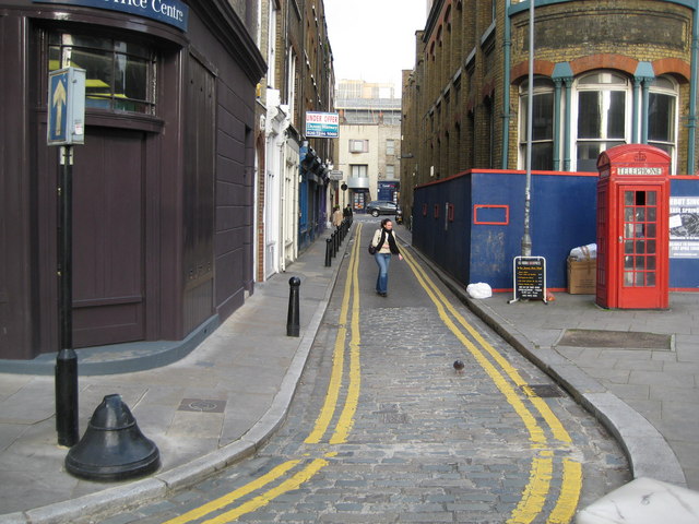
Image: © Nigel Cox Taken: 1 Apr 2008
On the left is a bell bollard, designed to deflect vehicle wheels back onto the road, and, in this case, to protect the road sign on the corner. Just as well this is a one way street... The telephone kiosk on the right is a K2 type and is Grade II Listed.
Images are licensed for reuse under creativecommons.org/licenses/by-sa/2.0
Image Location
Latitude
51.522469
Longitude
-0.103091