Road between Greenfield and Christmas Common
Introduction
The photograph on this page of Road between Greenfield and Christmas Common by Andrew Smith as part of the Geograph project.
The Geograph project started in 2005 with the aim of publishing, organising and preserving representative images for every square kilometre of Great Britain, Ireland and the Isle of Man.

There are currently over 7.5m images from over 14,400 individuals and you can help contribute to the project by visiting https://www.geograph.org.uk
Road between Greenfield and Christmas Common
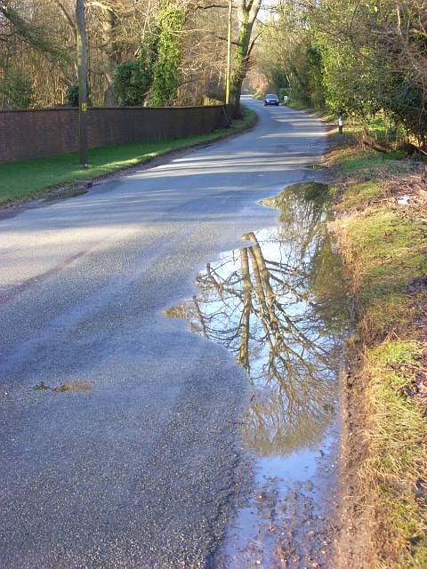
Image: © Andrew Smith Taken: 30 Mar 2008
On the left is part of the long wall that encloses Watlington Park.
Images are licensed for reuse under creativecommons.org/licenses/by-sa/2.0
Image Location
Latitude
51.627707
Longitude
-0.971344