Riverside North and barrier, Bewdley, Worcs
Introduction
The photograph on this page of Riverside North and barrier, Bewdley, Worcs by P L Chadwick as part of the Geograph project.
The Geograph project started in 2005 with the aim of publishing, organising and preserving representative images for every square kilometre of Great Britain, Ireland and the Isle of Man.

There are currently over 7.5m images from over 14,400 individuals and you can help contribute to the project by visiting https://www.geograph.org.uk
Riverside North and barrier, Bewdley, Worcs
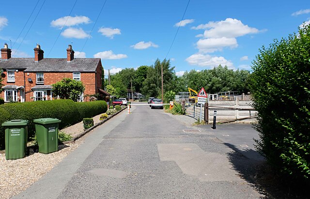
Image: © P L Chadwick Taken: 7 Jul 2023
The road, just before the houses on the left, has a white barrier. This is to deter unauthorised vehicles from proceeding further. However pedestrians can continue along the road, which leads to the very pleasant Riverside North Park and then onto a footpath alongside the River Severn. The two green wheelie bins are issued by Wyre Forest District Council for recycling, and emptied fortnightly.
Images are licensed for reuse under creativecommons.org/licenses/by-sa/2.0
Image Location
Latitude
52.377659
Longitude
-2.314617