Hen gât fochyn / An old kissing gate
Introduction
The photograph on this page of Hen gât fochyn / An old kissing gate by Alan Richards as part of the Geograph project.
The Geograph project started in 2005 with the aim of publishing, organising and preserving representative images for every square kilometre of Great Britain, Ireland and the Isle of Man.

There are currently over 7.5m images from over 14,400 individuals and you can help contribute to the project by visiting https://www.geograph.org.uk
Hen gât fochyn / An old kissing gate
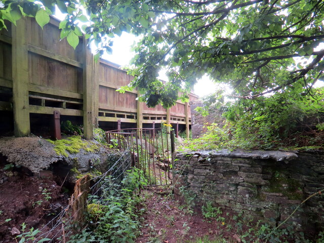
Image: © Alan Richards Taken: 31 Jul 2023
Llwybr troed cyhoeddus yn cyrraedd pentre Pontantwn. Yn anffodus, wrth ysgrifennu hwn mae'r llwybr wedi ei rwystro. A public footpath approaches the village of Pontantwn (trans. Anton's bridge). Unfortunately, at the time of writing the path is obstructed.
Images are licensed for reuse under creativecommons.org/licenses/by-sa/2.0
Image Location
Latitude
51.793454
Longitude
-4.259976