The Meadows: Wetherlam Close
Introduction
The photograph on this page of The Meadows: Wetherlam Close by John Sutton as part of the Geograph project.
The Geograph project started in 2005 with the aim of publishing, organising and preserving representative images for every square kilometre of Great Britain, Ireland and the Isle of Man.

There are currently over 7.5m images from over 14,400 individuals and you can help contribute to the project by visiting https://www.geograph.org.uk
The Meadows: Wetherlam Close
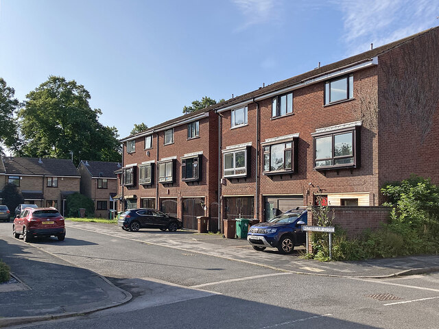
Image: © John Sutton Taken: 26 Jul 2023
A lot of sub-standard Victorian housing was cleared, and the gridiron road pattern obliterated, in the Meadows redevelopment of the 1970s. After the disastrous 1960s experiment with deck-access flats at Balloon Wood, Basford and Hyson Green - all of which were quickly demolished - the Meadows and St Ann's areas were redeveloped with low-rise housing.
Images are licensed for reuse under creativecommons.org/licenses/by-sa/2.0
Image Location
Latitude
52.941409
Longitude
-1.152669