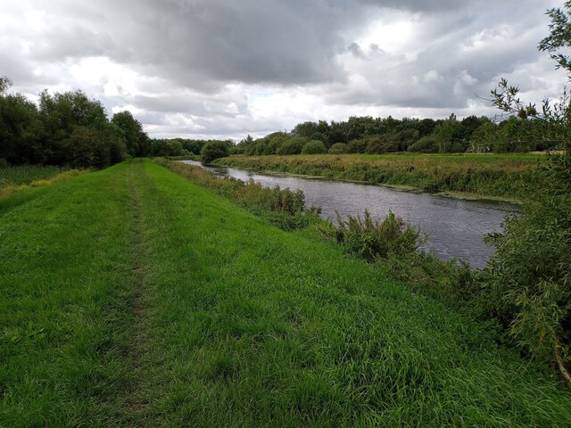
River Witham by Bracebridge, Lincoln
Introduction
The photograph on this page of River Witham by Bracebridge, Lincoln by Jonathon Pile as part of the Geograph project.
The Geograph project started in 2005 with the aim of publishing, organising and preserving representative images for every square kilometre of Great Britain, Ireland and the Isle of Man.
There are currently over 7.5m images from over 14,400 individuals and you can help contribute to the project by visiting https://www.geograph.org.uk

Image: © Jonathon Pile Taken: 29 Jul 2023
A public footpath runs along the eastern bank of River Witham looking southwards (upstream) approximately 200 metres south of Bracebridge bridge, the first major crossing of the Witham in the Lincoln city area. This photograph was taken on a cool and cloudy morning in late July. With the clouds above threatening another day of rain in the wettest July for some years, both this path and the one lining the opposite bank were deserted of those seeking fresh air and exercise. Even the river was free of wildlife, the clouds presumably losing the trust of even the hardiest duck. Here the river is bounded by the fish ponds of the former Bracebridge Hall (now Grosvenor Hall Care Home) to the east and South Witham Marsh to the west, creating a wide corridor of green space between Lincoln's southern suburbs. There's still the distant clanging and revving from the nearby automotive garage, but it's an otherwise peaceful spot.

