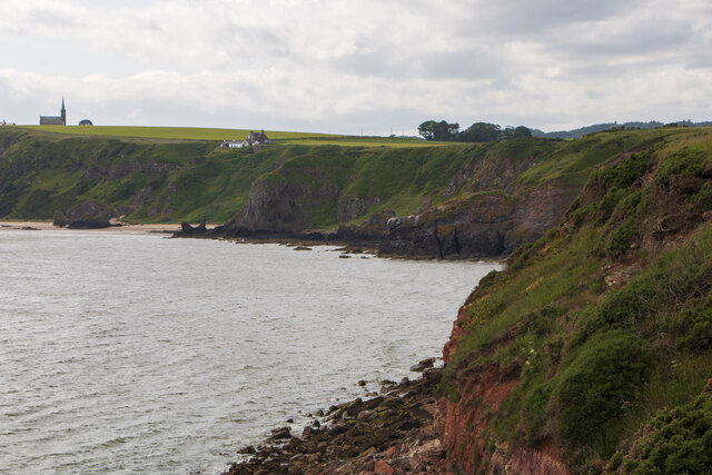
Kaim of Mathers, Aberdeenshire
Introduction
The photograph on this page of Kaim of Mathers, Aberdeenshire by Adrian Diack as part of the Geograph project.
The Geograph project started in 2005 with the aim of publishing, organising and preserving representative images for every square kilometre of Great Britain, Ireland and the Isle of Man.
There are currently over 7.5m images from over 14,400 individuals and you can help contribute to the project by visiting https://www.geograph.org.uk

Image: © Adrian Diack Taken: 1 Jul 2023
The middle ground of this photo shows the rocky and exposed, headland site of Kaim of Mathers which overlooks Montrose Bay. Although, from a distance, it may appear an inviting place to visit, it is fact extremely dangerous to do so. Indeed, the sensible advice is not even to attempt making footfall at the ruined castle as to do so involves taking a perilous path with a leap of faith at the end of it. As the Kaim of Mathers occupies an exposed, headland position, it is often windy and this further increases the difficulty and danger at this location. The church in the distance is St Cyrus Parish Church.

