Main Street in Womersley
Introduction
The photograph on this page of Main Street in Womersley by David Brown as part of the Geograph project.
The Geograph project started in 2005 with the aim of publishing, organising and preserving representative images for every square kilometre of Great Britain, Ireland and the Isle of Man.

There are currently over 7.5m images from over 14,400 individuals and you can help contribute to the project by visiting https://www.geograph.org.uk
Main Street in Womersley
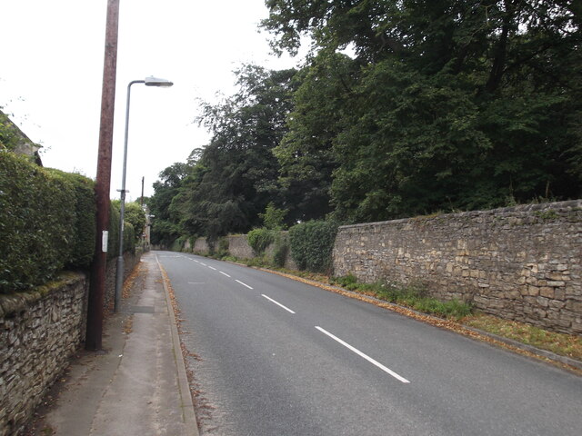
Image: © David Brown Taken: 28 Jul 2023
The south side of the street is dominated by a high wall enclosing Womersley Park. It looks like the wall of a deer park but is just gardens.
Images are licensed for reuse under creativecommons.org/licenses/by-sa/2.0
Image Location
Latitude
53.665067
Longitude
-1.198309