West Street, Swinton
Introduction
The photograph on this page of West Street, Swinton by Gordon Hatton as part of the Geograph project.
The Geograph project started in 2005 with the aim of publishing, organising and preserving representative images for every square kilometre of Great Britain, Ireland and the Isle of Man.

There are currently over 7.5m images from over 14,400 individuals and you can help contribute to the project by visiting https://www.geograph.org.uk
West Street, Swinton
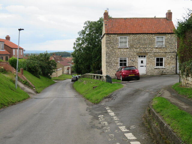
Image: © Gordon Hatton Taken: 25 Jul 2023
Swinton consists of West, East and Middle Streets, but the vast majority of motorists will see none of these as they journey along the Malton to Helmsley road that cuts across the top of the village.
Images are licensed for reuse under creativecommons.org/licenses/by-sa/2.0
Image Location
Latitude
54.149485
Longitude
-0.840354