Tommy's Field allotments and community garden
Introduction
The photograph on this page of Tommy's Field allotments and community garden by Christine Johnstone as part of the Geograph project.
The Geograph project started in 2005 with the aim of publishing, organising and preserving representative images for every square kilometre of Great Britain, Ireland and the Isle of Man.

There are currently over 7.5m images from over 14,400 individuals and you can help contribute to the project by visiting https://www.geograph.org.uk
Tommy's Field allotments and community garden
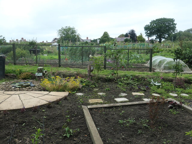
Image: © Christine Johnstone Taken: 18 Jul 2023
The four acres of land, now known as Tommy's Field, have been used by the people of Morpeth since early times. The Freemen of Morpeth had the right of aftermath or pasturage on it from Michaelmas in September to Lady Day in March. The field retains Tommy's name ever since Tommy Longstaff ran a pub and a tannery on the site in the 19th century.
Images are licensed for reuse under creativecommons.org/licenses/by-sa/2.0
Image Location
Latitude
55.170241
Longitude
-1.684425