Site of St Mary's old primary school near Killyclogher
Introduction
The photograph on this page of Site of St Mary's old primary school near Killyclogher by Kenneth Allen as part of the Geograph project.
The Geograph project started in 2005 with the aim of publishing, organising and preserving representative images for every square kilometre of Great Britain, Ireland and the Isle of Man.

There are currently over 7.5m images from over 14,400 individuals and you can help contribute to the project by visiting https://www.geograph.org.uk
Site of St Mary's old primary school near Killyclogher
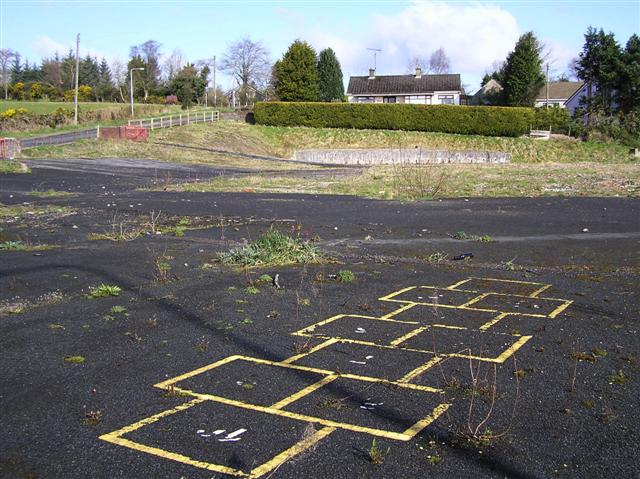
Image: © Kenneth Allen Taken: 8 Apr 2008
Nothing much remains of this school, except for some hop-scotch markings in the playground. The school was located in the townland of Mullaghmore beside the Killyclogher Burn
Images are licensed for reuse under creativecommons.org/licenses/by-sa/2.0
Image Location


Leaflet Map data © OpenStreetMap
Latitude
54.60934
Longitude
-7.273375