Copthorne sports fields
Introduction
The photograph on this page of Copthorne sports fields by SGBailey as part of the Geograph project.
The Geograph project started in 2005 with the aim of publishing, organising and preserving representative images for every square kilometre of Great Britain, Ireland and the Isle of Man.

There are currently over 7.5m images from over 14,400 individuals and you can help contribute to the project by visiting https://www.geograph.org.uk
Copthorne sports fields
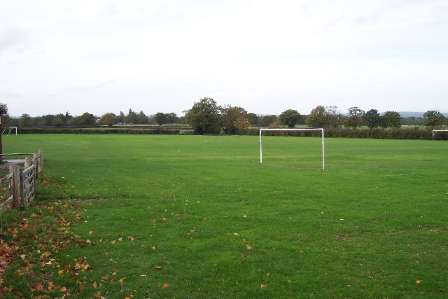
Image: © SGBailey Taken: 7 Nov 2005
The northern boundary of the village of Copthorne separates Sussex from Surrey. The 25% of square TQ3139 in surrey is all grassland. In this case sports fields.
Images are licensed for reuse under creativecommons.org/licenses/by-sa/2.0
Image Location


Leaflet Map data © OpenStreetMap
Latitude
51.141382
Longitude
-0.115895