Scaffold Hill Farm
Introduction
The photograph on this page of Scaffold Hill Farm by Robert Graham as part of the Geograph project.
The Geograph project started in 2005 with the aim of publishing, organising and preserving representative images for every square kilometre of Great Britain, Ireland and the Isle of Man.

There are currently over 7.5m images from over 14,400 individuals and you can help contribute to the project by visiting https://www.geograph.org.uk
Scaffold Hill Farm
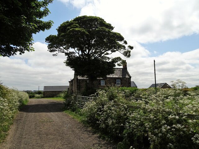
Image: © Robert Graham Taken: 5 Jun 2023
This old farm at Benton is north of the Rising Sun Country Park. It is shown on an estate map of 1800, and the present buildings are shown on the 1865 First Series Ordnance Survey map.
Images are licensed for reuse under creativecommons.org/licenses/by-sa/2.0
Image Location
Latitude
55.021458
Longitude
-1.526215