Eastern Ring Road, University of Sussex
Introduction
The photograph on this page of Eastern Ring Road, University of Sussex by Simon Carey as part of the Geograph project.
The Geograph project started in 2005 with the aim of publishing, organising and preserving representative images for every square kilometre of Great Britain, Ireland and the Isle of Man.

There are currently over 7.5m images from over 14,400 individuals and you can help contribute to the project by visiting https://www.geograph.org.uk
Eastern Ring Road, University of Sussex
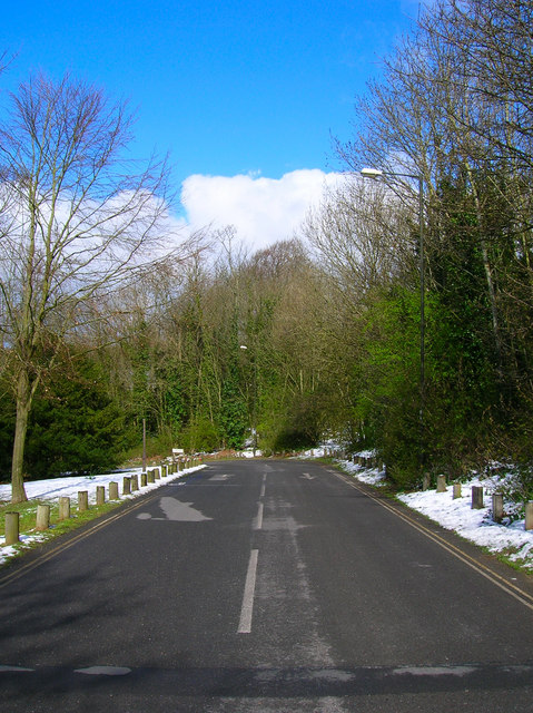
Image: © Simon Carey Taken: 7 Apr 2008
Looking towards the bend in the road where it becomes Boilerhouse Hill. This is currently the only main exit from the university and is not a good place to be between 4.30-5.30 during the week.
Images are licensed for reuse under creativecommons.org/licenses/by-sa/2.0
Image Location
Latitude
50.867194
Longitude
-0.083767