Former pub, St Marychurch
Introduction
The photograph on this page of Former pub, St Marychurch by Derek Harper as part of the Geograph project.
The Geograph project started in 2005 with the aim of publishing, organising and preserving representative images for every square kilometre of Great Britain, Ireland and the Isle of Man.

There are currently over 7.5m images from over 14,400 individuals and you can help contribute to the project by visiting https://www.geograph.org.uk
Former pub, St Marychurch
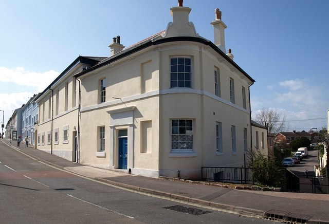
Image: © Derek Harper Taken: 3 Apr 2008
This used to be the Palk Arms. it stands at the corner of Teignmouth Road and Fore Street (to the right, now cut off from vehicular access).
Images are licensed for reuse under creativecommons.org/licenses/by-sa/2.0
Image Location


Leaflet Map data © OpenStreetMap
Latitude
50.488103
Longitude
-3.527026