Road junction at the bottom of High Street, Southampton
Introduction
The photograph on this page of Road junction at the bottom of High Street, Southampton by David Martin as part of the Geograph project.
The Geograph project started in 2005 with the aim of publishing, organising and preserving representative images for every square kilometre of Great Britain, Ireland and the Isle of Man.

There are currently over 7.5m images from over 14,400 individuals and you can help contribute to the project by visiting https://www.geograph.org.uk
Road junction at the bottom of High Street, Southampton
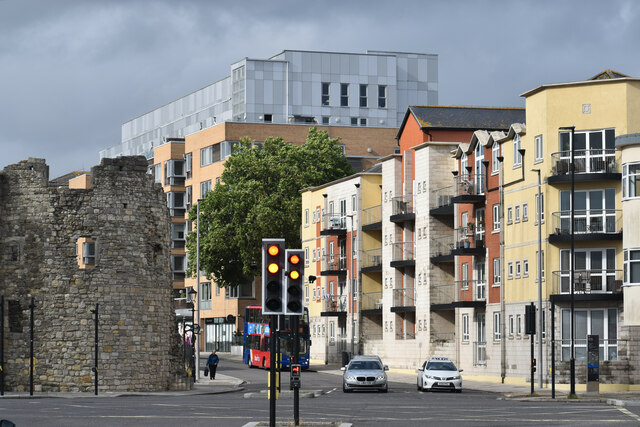
Image: © David Martin Taken: 15 Jul 2023
Seen here from Town Quay, with the ruin of the Watergate on the left and modern apartments on the right.
Images are licensed for reuse under creativecommons.org/licenses/by-sa/2.0
Image Location
Latitude
50.89678
Longitude
-1.404302