The south side of St Matthew's Church, Rastrick
Introduction
The photograph on this page of The south side of St Matthew's Church, Rastrick by Humphrey Bolton as part of the Geograph project.
The Geograph project started in 2005 with the aim of publishing, organising and preserving representative images for every square kilometre of Great Britain, Ireland and the Isle of Man.

There are currently over 7.5m images from over 14,400 individuals and you can help contribute to the project by visiting https://www.geograph.org.uk
The south side of St Matthew's Church, Rastrick
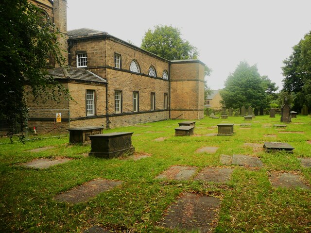
Image: © Humphrey Bolton Taken: 21 Jul 2023
The first church was built c.1350, nearer the road next to the Saxon cross. It was rebuilt in 1606 and then this present building replaced it in 1798. The churchyard was extended in 1823 and again in 1862. There is a very detailed history of the church by Richrd Kay:- https://www.stmatthewsrastrick.org/599102199077.htm
Images are licensed for reuse under creativecommons.org/licenses/by-sa/2.0
Image Location
Latitude
53.690398
Longitude
-1.791745