Ascent through Llanhennock
Introduction
The photograph on this page of Ascent through Llanhennock by Jaggery as part of the Geograph project.
The Geograph project started in 2005 with the aim of publishing, organising and preserving representative images for every square kilometre of Great Britain, Ireland and the Isle of Man.

There are currently over 7.5m images from over 14,400 individuals and you can help contribute to the project by visiting https://www.geograph.org.uk
Ascent through Llanhennock
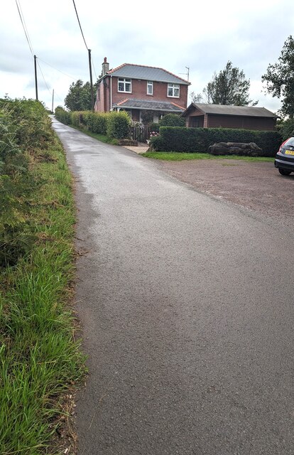
Image: © Jaggery Taken: 23 Jul 2023
Looking north along a minor road in rural Monmouthshire. The Wheatsheaf https://www.geograph.org.uk/photo/7548794 is nearby.
Images are licensed for reuse under creativecommons.org/licenses/by-sa/2.0
Image Location
Latitude
51.630816
Longitude
-2.936019