Bromesberrow Heath
Introduction
The photograph on this page of Bromesberrow Heath by Philip Halling as part of the Geograph project.
The Geograph project started in 2005 with the aim of publishing, organising and preserving representative images for every square kilometre of Great Britain, Ireland and the Isle of Man.

There are currently over 7.5m images from over 14,400 individuals and you can help contribute to the project by visiting https://www.geograph.org.uk
Bromesberrow Heath
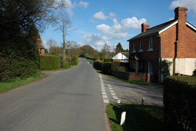
Image: © Philip Halling Taken: 4 Apr 2008
There are a few of older houses in the small village of Bromesberrow Heath though there are a number of bungalows built in the 1960s and 70s.
Images are licensed for reuse under creativecommons.org/licenses/by-sa/2.0
Image Location


Leaflet Map data © OpenStreetMap
Latitude
51.995352
Longitude
-2.386062