Site of former Board School
Introduction
The photograph on this page of Site of former Board School by Pauline E as part of the Geograph project.
The Geograph project started in 2005 with the aim of publishing, organising and preserving representative images for every square kilometre of Great Britain, Ireland and the Isle of Man.

There are currently over 7.5m images from over 14,400 individuals and you can help contribute to the project by visiting https://www.geograph.org.uk
Site of former Board School
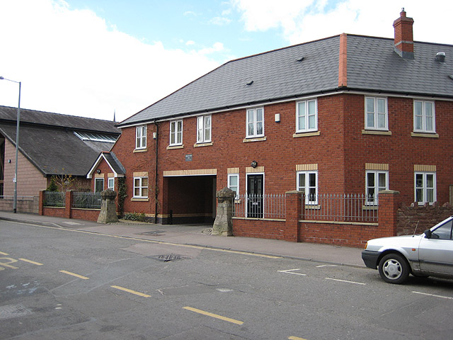
Image: © Pauline E Taken: 7 Apr 2008
All that remains of the old school are the two stone pillars that once supported the fence across the front of the school. This housing block and the library to the left, now stands on the site in Cantilupe Road.
Images are licensed for reuse under creativecommons.org/licenses/by-sa/2.0
Image Location


Leaflet Map data © OpenStreetMap
Latitude
51.914716
Longitude
-2.580332